Which four states meet at Four Corners Monument
Which quadrant is which
Two lines cross at the disc. The east–west line is the 37th parallel; the north–south line is the one the 1861 and 1863 statutes described. They divide the marker into four, and the four are the states in this order, clockwise from the top left: Utah northwest, Colorado northeast, New Mexico southeast, Arizona southwest.
On a map with north at the top, Colorado and New Mexico are the two eastern quadrants, one above the other, with Utah and Arizona facing them across the north–south line. The east–west line dividing the northern pair from the southern pair is the 37th parallel — Colorado’s southern boundary on the eastern side of the marker, Utah’s on the western side.
Whose land each quadrant is, which is a different question with a different answer, is on who owns it. Three of the four are Navajo Nation and the northeast is the Ute Mountain Reservation.
The only one in the country
Four states meeting at a single point is not a thing that happens by accident. It happened because the boundaries out here were drawn as straight lines of latitude and longitude, on paper, before anyone had walked most of it, and two of those lines were made to cross. Everywhere else in the United States the state boundaries follow rivers, ridgelines, colonial charters and earlier negotiations, and three-state corners are as far as they get.
So the thing you are standing on is a byproduct of nineteenth-century administrative tidiness, which is a large part of why I find it worth the drive. The name is not a metaphor and neither is the geometry: it is called Four Corners because four corners are there, and the longer version of that is on why it is called Four Corners.
What you actually do on the disc
You queue. Then you get on the marker, in whatever configuration you have decided on during the queue, and somebody photographs you from a low angle so all four quadrants are in frame. Straddling it standing up is the quick version. Lying across it with a limb in each state is the one people drove for. Push-up position over the center is the one that ends up on somebody’s wall.
The plaza is at about 4,861 feet, open, with no shade that any source describes and none that I have found. The site takes around 250,000 visitors a year on a 2025 figure from the Navajo Nation president’s office, and in July you feel every one of them in the line. A typical visit runs 30 to 60 minutes including the stalls. How long to allow is on how much time you need, and what else is there is on what to do.
The four-state photograph is the whole product, so decide who is taking it before you reach the front of the line rather than during. A low camera position matters more than anything else: from standing height the quadrant lines foreshorten and you lose the one thing that makes the picture readable.
Seeing four states without standing on the marker
There is a real alternative, and almost nobody mentions it. From high ground at Mesa Verde, about 49 road miles east, you can look out across all four states at once. One operator describes its stop as “one of the most spectacular viewpoints in the Southwest, where you can see into the four states that make up the four corners region”; another describes “a stop at a spectacular lookout of the Four Corners Region” on the way back to Durango.
Neither of those is the marker. A lookout over the region is tens of miles from the quadripoint and there is no disc, no state lines under your feet and no gate fee. It is a view rather than a standing-in-four-places trick. But it is a genuine thing to see four states from, it comes attached to a guided day at Mesa Verde, and if you were weighing up a 39-mile detour purely to look at the region, it is worth knowing the view exists somewhere you were already going.
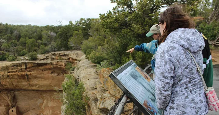 Sees all four statesPark entry included
Mancos: Mesa Verde National Park Half-Day Tour
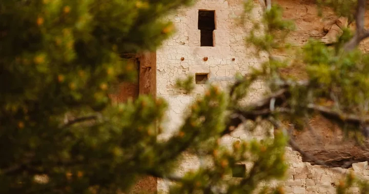 Best rated herePark entry + lunch included
Durango: Mesa Verde National Park, Cliff Palace Tour with Lunch
No tour on this site, or on the booking platform at all, includes Four Corners Monument. The marker is a self-drive stop and US$8 at the gate — see do you need tickets and getting there.
Frequently asked questions
What four states meet at the Four Corners Monument?
Arizona, Colorado, New Mexico and Utah. Clockwise from the top left of the disc: Utah northwest, Colorado northeast, New Mexico southeast, Arizona southwest.
What state can you touch four states at once in?
The marker sits at Teec Nos Pos, Arizona, so the gate and the parking are in Arizona — but the disc itself is in all four at once, which is the point. Straddle or lie across it and your limbs are in Arizona, Colorado, New Mexico and Utah simultaneously.
Is Four Corners the only place in the US where four states meet?
Yes. It is the only point in the United States where four states meet, and the only US quadripoint. Everywhere else the boundaries follow rivers, ridgelines and older charters, and three-state corners are as far as they go.